
Kigali to Bwindi Road Conditions 2026
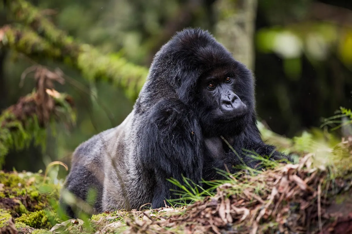
Planning a gorilla trek often starts with a logistical puzzle: how do you get to the forest safely and quickly? For many travelers in 2026, the answer lies in a cross-border journey from Rwanda. Kigali to Bwindi driving has become the preferred route for international visitors because it slashes travel time compared to the long haul from Entebbe.
While the distance remains short, roughly 170 to 180 kilometers, the mountainous terrain and international border crossing require careful planning. Rwanda’s impeccably paved roads meet Uganda’s rugged highland tracks, creating a journey of two halves. To ensure your adventure remains focused on the mountain gorillas rather than mechanical delays, we have analyzed the current 2026 road conditions and safe transit times.
Kigali to Bwindi
The Route: Two Borders, One Goal
Most travelers choose between two main border crossings: Cyanika and Katuna (Gatuna). The Cyanika border serves the southern sectors of Bwindi, including Rushaga and Nkuringo, while offering spectacular views of the Muhabura volcano. Katuna acts as the primary gateway for those heading to the eastern Ruhija sector or the northern Buhoma area.
In 2026, both borders operate efficiently as “One-Stop Border Posts” to reduce transit times. You must still account for 30 to 60 minutes for immigration checks and vehicle customs. Always carry your Yellow Fever certificate and your East African Tourist Visa to ensure a smooth transition across the border.
Cyanika Border: The Southern Gateway
Cyanika is the preferred choice for those trekking in the Rushaga or Nkuringo sectors. This route takes you through the vibrant town of Musanze before climbing toward the Ugandan highlands. The road provides a direct link to Kisoro, making it the fastest path to the southern gorilla families.
Katuna Border: The Eastern Entrance
Katuna handles the majority of commercial traffic but remains a viable option for tourists heading to Ruhija. After crossing, the drive continues through the scenic “Switzerland of Africa” near Kabale town. This route offers better access to Lake Bunyonyi if you wish to add a relaxing water-side stop to your itinerary.
Road Conditions: Tarmac vs. Trails
The first half of the Kigali to Bwindi driving route features the smooth, world-class asphalt of Rwanda. You will wind through the “Land of a Thousand Hills” on well-marked roads with strict speed limits. However, once you cross into Uganda, the landscape and the road surface change.
-
The Rwanda Side: Expect perfect tarmac from Kigali to either Musanze (for Cyanika) or Gatuna. Speed cameras and traffic police are frequent, so drivers must strictly adhere to the 60km/h and 80km/h limits.
-
The Uganda Side: While the main highways to Kisoro and Kabale remain paved, the final stretches leading into Bwindi Impenetrable National Park are often “murram” (gravel) roads. These sections involve steep climbs and tight hairpins that require a sturdy 4×4 vehicle.

Kigali to Bwindi
Safe Driving Times and Distance
| Route Segment | Distance (Approx) | Estimated Time (Daylight) | Road Type |
| Kigali to Cyanika Border | 100 km | 2.5 – 3 Hours | Smooth Asphalt |
| Cyanika to Rushaga Sector | 45 km | 1.5 – 2 Hours | Paved / Murram mix |
| Kigali to Katuna Border | 80 km | 1.5 – 2 Hours | Smooth Asphalt |
| Katuna to Ruhija Sector | 65 km | 2 – 3 Hours | Winding Murram |
| Total Journey | 175 km | 4 – 6 Hours | Mixed |
Top Tips for a Safe Journey
To make your Kigali to Bwindi driving experience as stress-free as possible, follow these safety guidelines. Proper preparation ensures that the transit remains a highlight of your trip rather than a source of anxiety.
-
Avoid Night Driving: This is the golden rule of East African travel due to limited visibility. Mountain roads lack lighting, and unexpected obstacles like livestock or heavy mist can appear suddenly. Aim to reach your lodge by 6:00 PM to ensure you navigate the steepest sections in daylight.
-
Use a 4×4 Vehicle: Even in the dry season, the final ascent to Bwindi requires high ground clearance. Muddy patches persist in the rainforest year-round and can trap smaller cars. A robust 4WD system provides the necessary traction for the rugged Ugandan “murram” roads.
-
Hire a Local Expert: Navigating border bureaucracy and steep ridges is much easier with a professional driver. Local experts understand the nuances of the “pothole season” and stay updated on the latest traffic regulations. They also know the safest spots for rest stops and scenic photos along the way.
-
Buffer for Border Delays: While the 2026 border systems are fast, a single tour bus can add an hour to your wait. Always build a 90-minute “buffer” into your schedule to avoid rushing for your trekking orientation. This extra time allows for a relaxed transition between Rwanda and Uganda.
-
Check Tire Pressure and Spares: The rocky terrain in the Bwindi foothills can be incredibly harsh on standard tires. Ensure your vehicle carries at least one functional spare and a working jack before leaving Kigali. Maintaining the correct pressure helps the vehicle grip the loose gravel surfaces common in the mountains.
-
Monitor Weather Forecasts: Heavy rains can turn mountain passes into slippery tracks within minutes. Check local weather reports for the Kigezi region to prepare for potential delays or detours. Staying informed allows you to adjust your departure time to beat the afternoon downpours
Conclusion
The drive from Kigali to the mist-covered peaks of Bwindi is more than just a transfer; it is an introduction to the dramatic geography of the Albertine Rift. By respecting the speed limits in Rwanda and the rugged terrain in Uganda, you ensure a safe arrival at the home of the mountain gorillas. Kigali to Bwindi driving offers the efficiency you need and the scenery you crave. Let Jackal Adventures handle the logistics and the driving, so you can save your energy for the magnificent trek ahead.
